SIGRO
Sebuah tempat untuk
para pembelajar
di bidang geospasial
Mengapa SIGRO?
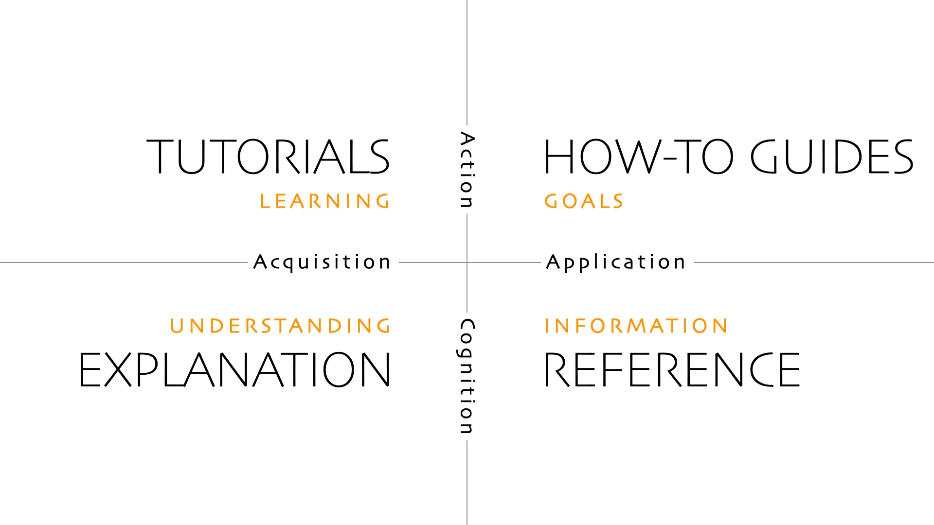
SIGRO didesain dengan pendekatan diataxis, di mana materi yang ada di SIGRO dibagi menjadi empat metode, yaitu : (1) tutorials, (2) how-to guides, (3) explanation, dan (4) reference.
Upcoming Course
GIS for Beginners
Kursus Sistem Informasi Geografis yang didesain untuk pemula.
Coming soon!

Advanced Course
Remote Sensing
Kursus pengindraan jauh tingkat lanjut seperti klasifikasi citra berbasis deep learning, Interferometric SAR dan lainnya.
Kursus ini hanya tersedia untuk Premium Supporter.
Support us!Testimoni

"I usually call him "Dangerous Tech Magician", as he is always ready with solutions for any technical issue within no time. He will guide simply, leaving behind effective results."
Pratichhya Sharma
VITO Remote Sensing

"We feel lucky to have learned from Dr. Firman Hadi's Team. They have taught us the basics, solved all our doubts, and taught us new topics that we were interested in. I feel that it's worth learning from Dr. Hadi."
Dema Yangzom
National Center for Hydrology and Meteorology, Bhutan
